Rainbow Valley
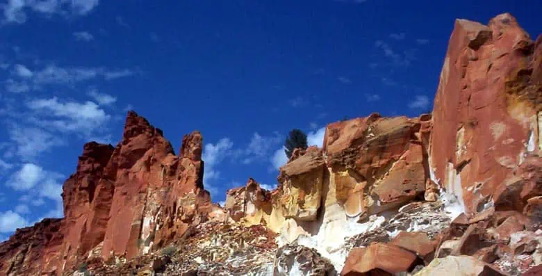
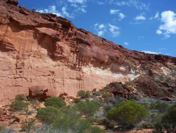 The Rainbow Valley in Northern Territory features sandstone bluffs and cliffs that form part of the James Range and are photographically attractive in the early morning or late afternoon when the rainbow-like rock band formations are highlighted.
The turn-off to the Rainbow Valley Reserve is about 75 clicks south of Alice Springs along the Stuart Highway. There is a 22 km gravel road to the east from the turn-off. Parks recommends 4WD vehicles due to sandy road sections.
 Camping is permitted (No Pets) in two designated areas: pit toilets, gas barbecues and picnic facilities. Several marked walking tracks throughout the Rainbow Valley Reserve for views of the claypan and Rainbow Valley itself.
There are many Aboriginal rock engravings, petroglyphs, and paintings in the Park. Around the hills and ridges, grinding stones and stone flakes are visible. The area is also significant to Arrernte Aboriginal people, who value the black rocks at the northern base of the main formation.
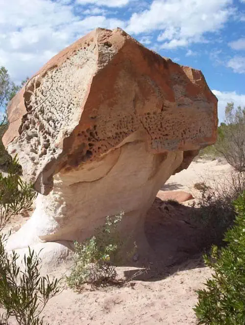
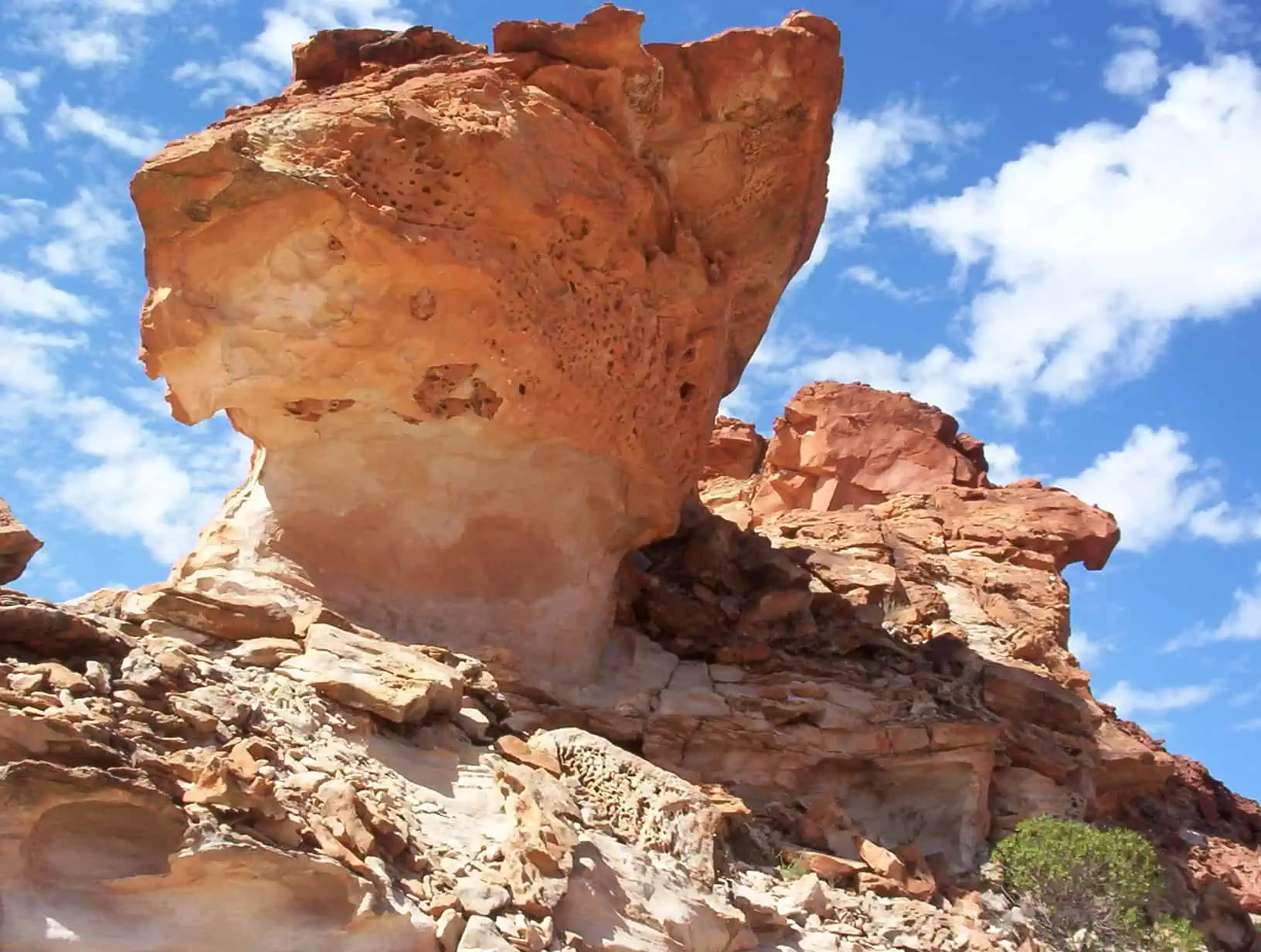
Water causes the coloured rock bands in the sandstone cliffs. The red iron in the sandstone dissolved and moved to the surface in earlier wetter times. The red minerals formed a dark iron surface layer with the leached white layers below. This dark red capping is much harder than other materials and weathers slowly. Unlike the white sandstone, which is softer and weathers quickly into a sandy material. Weathering and erosion are also responsible for the valley shape. Sandstone blocks erode into rock faces and square block towers.