
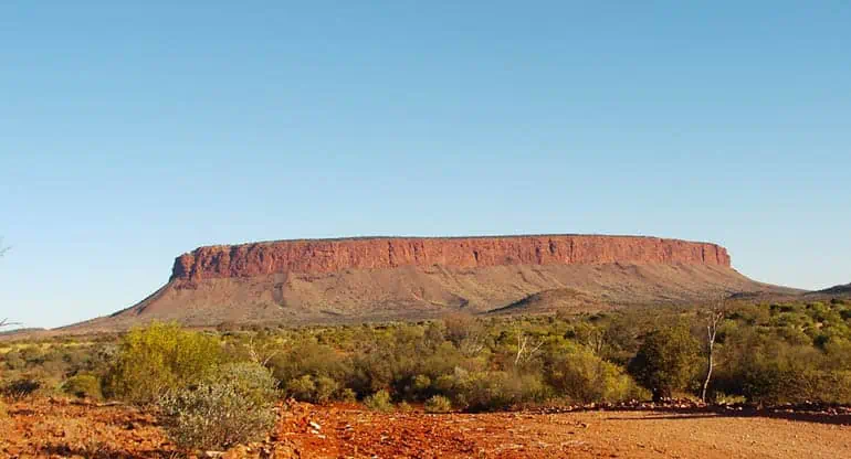
Mount Conner
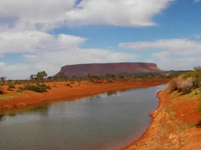
Dam on the road to Mount Conner
People often confuse Mount Conner for Uluru as they drive from Alice Springs towards Uluru Kata Tjuta National Park. It certainly has a high profile and is visible for many miles on the horizon, and once you have seen Uluru, you will always distinguish the two again.
William Gosse named Mount Conner in 1873 after South Australian politician M. L. Conner. It is also known as Attila by Aboriginals of the area. The majestic mesa is on the road to Uluru, about 75 kilometres (47 miles) southeast of Lake Amadeus at the Curtin Springs cattle station border. The highest point is 859 metres (2,818 ft) above sea level and 300 metres (984 ft) above ground level. The flat-topped and horseshoe-shaped mesa is part of the same substrate underlying Uluru and Kata Tjuta.
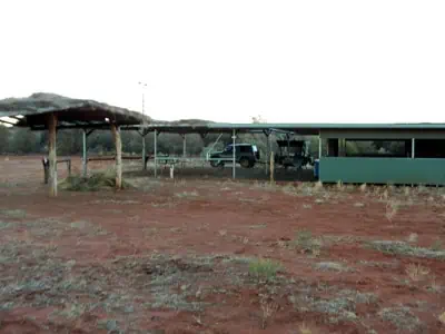
Mount Conner Camp
Mount Conner is on a cattle station, and permission is required to go onto the property and camp. Bookings and payment for the bush camping facility are through the Curtin Springs roadhouse. It would be best for you to call ahead and see if it is available to avoid disappointment.
The turn-off into the camp is only a kilometre or two from the roadhouse and about a 20-minute drive through the property to the campground. This is a working cattle property, so please remember to close gates if closed and leave them open if open. We found the place a delight to stay in; no one else was quiet, secluded, and restful.
UPDATE
It looks like the owners no longer allow people to camp by themselves on the property. The poor behaviour of some has now put an end to this privilege. Only guided tours will now get you close to Mount Conner! Another place, Stevensons Peak is another area not really accessible to most.
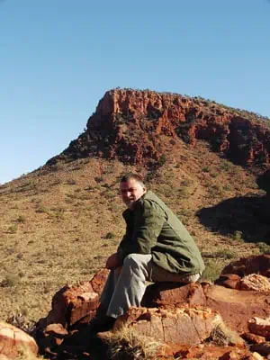
The Approach to Mt Conner